Where Does Your Yard Actually End? The Hidden Risk of Unverified Property Lines in Central Pennsylvania
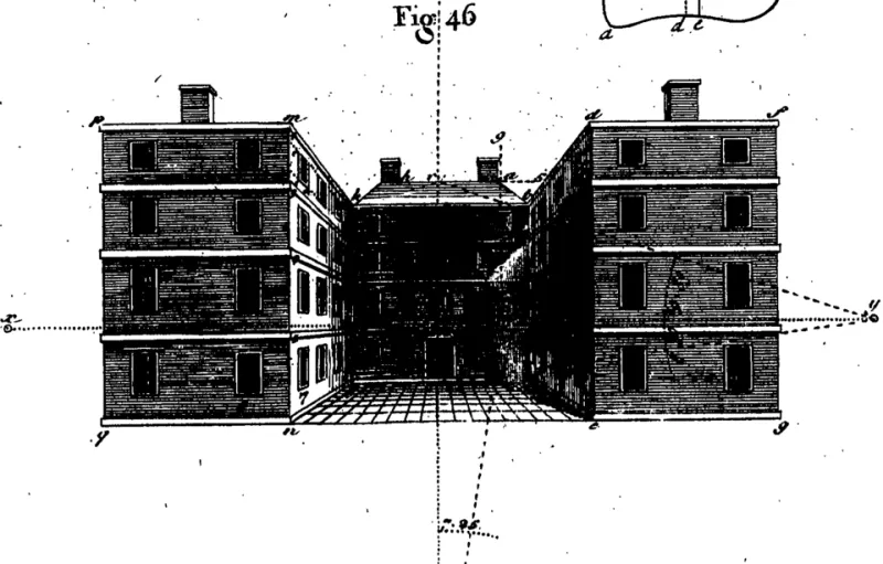
Photo: Wyld, Samuel, Public domain, via Wikimedia Commons
For many homeowners, the edge of their property is defined by wherever the lawn mower stops or where a neighbor's fence begins. That casual understanding works fine — until it doesn't. In Central Pennsylvania, where rural farmsteads, century-old borough lots, and newer subdivision developments exist side by side, the gap between what a homeowner believes they own and what a legal survey confirms can be surprisingly wide. And that gap, measured sometimes in just a few feet, has a way of generating some of the most contentious disputes in residential real estate.
This is not a problem unique to neglected properties or obscure rural parcels. It surfaces in established neighborhoods in York County, along the wooded hillsides of Perry County, and in the older residential corridors of Dauphin and Cumberland Counties. Anywhere that land has changed hands multiple times over many decades — and in Central Pennsylvania, that describes a great deal of the housing stock — the risk of a boundary ambiguity is real.
Why Central Pennsylvania Is Particularly Vulnerable
The region's history is both its charm and its legal complication. Many properties in the area trace their ownership through deeds written in the eighteenth and nineteenth centuries, when surveyors used natural landmarks — a particular oak tree, a creek bend, a stone pile — as reference points. Those landmarks shift, disappear, or become disputed over generations. What was once a clear boundary marker may now be a rotted stump or a dried-up tributary.
Modern subdivision developments add a different layer of complexity. As farmland has been converted into planned communities over the past several decades, the original agricultural parcel boundaries do not always align neatly with the new lot configurations. Errors introduced during the subdivision process can propagate through an entire neighborhood, meaning that a surveying mistake made in the 1970s may still be affecting property records today.
Pennsylvania's recording system, while generally reliable, does not guarantee the accuracy of the legal descriptions contained within deeds. A deed can be properly recorded and still contain a metes-and-bounds description that conflicts with an adjacent deed. The county recorder's office does not adjudicate those conflicts — that responsibility falls to the courts, or to the parties themselves.
What a Boundary Dispute Actually Looks Like
Consider a scenario familiar to many real estate attorneys practicing in the region: a homeowner in a semi-rural township installs a new fence along what they believe is their property line, based on a plat map included with their closing documents. Their neighbor, having recently hired a licensed surveyor for an unrelated project, discovers that the fence encroaches several feet onto their land. Neither party acted in bad faith. Both believed they were operating within their own boundaries. But the result is a legal dispute that can take months or years to resolve — and can cloud the title of both properties in the process.
In another common scenario, a buyer purchases a wooded lot in a rural county and later discovers that a portion of the driveway they have been using for years crosses a neighboring parcel. The previous owners may have had an informal agreement with the neighbor, but that agreement was never formalized as an easement and did not transfer with the property. The new owner has no legal right to continue using that access route.
These situations are not rare. They are, in fact, among the most frequently litigated property issues in Pennsylvania's common pleas courts.
The Surveying Process Explained
A licensed land surveyor does considerably more than measure distances. In Pennsylvania, surveyors are licensed by the State Registration Board for Professional Engineers, Land Surveyors, and Geologists, and their work carries legal weight. When you commission a boundary survey, the surveyor researches the chain of title for your property and adjacent parcels, examines recorded plats and deeds, looks for physical evidence of historical boundaries, and reconciles all of that information into a legal document that establishes where your property lines actually fall.
There are several types of surveys relevant to residential buyers. A mortgage location survey — sometimes called a plot plan — is the document most commonly provided at closing. It is important to understand that this type of survey is generally prepared for the lender's purposes and does not constitute a full boundary determination. It may not identify encroachments or resolve conflicting deed descriptions.
A boundary survey, by contrast, is a comprehensive determination of your property's legal limits. It involves physical field work, research into historical records, and the placement of permanent monuments at the corners of your parcel. This is the type of survey that carries evidentiary weight if a dispute ever goes to court.
For buyers purchasing older rural properties or any parcel where the deed description references natural features, a full boundary survey is not a luxury — it is a prudent investment that can prevent far more expensive problems later.
Steps Buyers Should Take Before Closing
Verifying property boundaries before purchasing a home in Central Pennsylvania does not require legal expertise, but it does require deliberate action. The following steps represent a sound approach for any buyer navigating this process.
Request and review the existing survey documents. Ask your real estate agent or attorney to provide any surveys associated with the property. Examine them carefully, noting the date of the survey, the type of survey performed, and whether permanent monuments were set.
Walk the perimeter with the seller. Ask the seller to walk the property boundaries with you and identify any markers, fences, or features they believe represent the property lines. Note any discrepancies between what they describe and what appears on the survey documents.
Consult a licensed Pennsylvania land surveyor. If you have any concerns about the accuracy of the existing survey, or if the property is older, rural, or has an irregular shape, commission an independent boundary survey before closing. The cost — typically ranging from several hundred to a few thousand dollars depending on the complexity of the parcel — is modest relative to the value of the property and the potential cost of a future dispute.
Review the title commitment carefully. Your title insurance commitment will list any exceptions to coverage, which may include boundary disputes or encroachments. Pay close attention to these exceptions and discuss them with your real estate attorney.
Check for recorded easements. Easements granting others access to or use of a portion of your property are recorded in the county deed books. Your attorney or title company should identify these, but it is worth confirming that any easements shown on the survey match what is described in the deed.
What Current Homeowners Should Know
If you already own property in Central Pennsylvania and have never had a formal boundary survey performed, there are circumstances that warrant getting one. Planning any construction project — a fence, garage, addition, or outbuilding — near the edge of your lot is an obvious trigger. So is any disagreement with a neighbor about where a shared boundary falls.
It is also worth noting that Pennsylvania recognizes the legal doctrine of adverse possession, under which a party who openly occupies and uses another's land for a continuous period of twenty-one years may acquire legal title to that land. While adverse possession claims are not automatically successful and require court adjudication, they represent a genuine risk for homeowners who are unaware that a neighbor has been encroaching on their property for an extended period.
A boundary survey, properly recorded, creates a clear record that can protect against future claims and provide peace of mind that is difficult to put a price on.
The Bottom Line
Property lines in Central Pennsylvania are not always where common sense suggests they should be. The region's layered history of land use, the limitations of older deed descriptions, and the occasional errors introduced during subdivision development all contribute to a landscape where boundary ambiguities are more common than most buyers and homeowners realize. Taking the time to verify where your property actually begins and ends — before you build, before you landscape, and ideally before you close — is among the most straightforward forms of due diligence available to you. It is a step that Central Penn MLS consistently encourages every buyer in the region to consider.